



MEXICO CITY — Hurricane Simon strengthened into a Category 4 storm early Saturday as it moved toward Mexico's Pacific coast, bringing maximum sustained winds of 145 mph — about 230 km/h — and the threat of destructive flooding and mudslides.
The U.S. National Hurricane Center measured Simon at that strength in its 3 a.m. Central time advisory on October 10. The centre said preparations to protect life and property should be completed immediately, with landfall expected late Saturday or early Sunday.
Rapid intensification raises the danger
Simon had maximum sustained winds of 105 mph Friday afternoon. By early Saturday, it had gained about 40 mph and reached major-hurricane status, a sharp increase that left less time for coastal communities to prepare.
The storm was moving north toward southwestern and west-central Mexico. A hurricane warning covered a broad section of the coast, and forecasters expected the core to approach Jalisco and Colima, including areas near Manzanillo and Puerto Vallarta.
The National Hurricane Center's advisory said hurricane conditions were expected within the warning area. Tropical-storm-force winds could arrive well ahead of the centre, making final preparations and travel increasingly dangerous.
Rainfall could reach 30 inches in isolated areas
Forecasters said Simon could produce 10 to 20 inches of rain across parts of southwestern Mexico, with isolated totals of up to 30 inches. The heaviest rainfall was expected in portions of Jalisco, Michoacán, Colima and Nayarit.
That amount of rain can trigger life-threatening flash flooding and mudslides, especially in steep terrain. Dangerous surf, rip currents and coastal flooding were also expected along affected sections of the Pacific coast.
Mexico's federal water commission had already warned of torrential rain and high waves as Simon approached. The Mexican Navy activated emergency personnel in Colima, while authorities restricted maritime traffic and closed some ports to vessels.
Classes suspended and shelters prepared
Jalisco suspended classes Friday and Monday in 22 coastal municipalities. State authorities also began moving people from vulnerable areas and asked tourism operators in Puerto Vallarta to ensure workers and visitors had access to shelters or other safe locations.
Manzanillo, a major Pacific port, was also preparing for the storm. Fishing boats were pulled from beaches and authorities raised black flags to close shoreline areas, Reuters reported Friday.
The exact point and intensity of landfall can still change. Residents should rely on instructions from Mexican civil-protection officials and the latest National Hurricane Center updates rather than a single forecast track.
What Canadian travellers should know
Puerto Vallarta and the surrounding coast are popular with Canadian travellers. The Government of Canada's Mexico travel advisory was updated Friday afternoon and continues to tell travellers to exercise a high degree of caution, with additional regional advisories.
Its hurricane-season guidance says severe storms can disrupt essential services and advises travellers in coastal areas to be ready to change or cancel plans on short notice, monitor regional forecasts and follow local authorities. Canadians in or travelling to Jalisco, Colima, Michoacán or Nayarit should check airline and accommodation status and avoid moving through affected areas once dangerous winds begin.
Sources: U.S. National Hurricane Center advisory 12, issued October 10 at 3 a.m. Central time; The Associated Press, published October 10; Reuters, updated October 9; Mexico's National Water Commission, October 8; Government of Canada travel advice for Mexico, updated October 9.
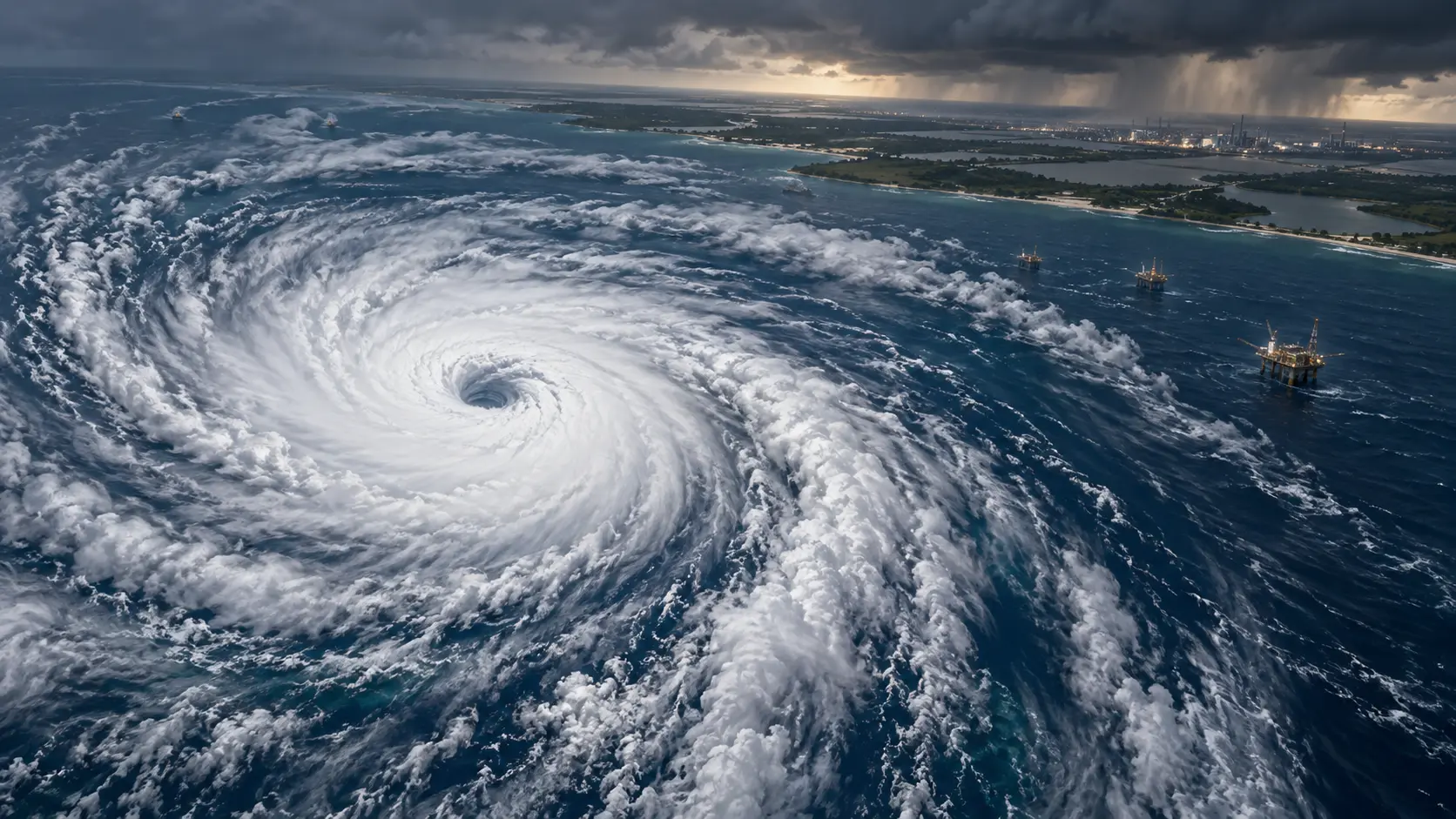
Lead image: GOES-19 GeoColor satellite view of Hurricane Simon south of Mexico at 00:10 UTC on October 10, 2026, via CIRA/NOAA. The image predates Simon's Category 4 designation.



Leave a comment
Join the discussion. Please follow our Community Standards.
Sign in or create an account to leave a comment.
Use your ChatGPT account to comment. Choose your public display name before submitting.
No published comments yet.